
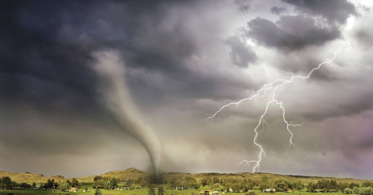
You’re watching a summer thunderstorm roll across the plains when the sky turns green. The clouds start rotating—slowly at first, then faster. A funnel extends downward like a finger reaching for the ground. Within minutes, a tornado touches down. But what just happened in the atmosphere to create that spinning column of wind?
The short answer
Tornadoes form when wind shear creates a horizontal tube of rotating air, and a powerful thunderstorm updraft grabs it, tilts it vertical, and stretches it into a spinning vortex. Not every thunderstorm can do this—it requires specific ingredients present at the same time.
The three-ingredient recipe
Think of tornado formation like baking: you need the right ingredients in the right proportions, or you just get a regular thunderstorm.
Ingredient 1: Atmospheric instability. You need warm, moist air near the ground and cold, dry air above it. This creates an unstable situation where air wants to rise—fast. Meteorologists measure this as CAPE (Convective Available Potential Energy). For tornadoes, you typically need values above 1,000 joules per kilogram, and the strongest tornado days often see 2,000+ J/kg.
Ingredient 2: Wind shear. This is the critical piece most people miss. Wind shear means the wind changes speed or direction as you go higher in the atmosphere. For example: winds from the south at 10 mph near the ground, but winds from the west at 40 mph at 10,000 feet. This difference creates rotation—we’ll come back to why.
Ingredient 3: A lifting mechanism. Something needs to trigger the updraft: a cold front pushing warm air upward, a dry line where moist and dry air collide, or daytime heating. Without a trigger, the unstable air just sits there.
When all three ingredients come together, you get a supercell thunderstorm—the storm type responsible for most significant tornadoes.
Why wind shear makes air spin
Here’s the counterintuitive part: wind shear doesn’t create vertical rotation at first. It creates horizontal rotation.
Imagine a pencil rolling on a table. That’s what wind shear does to air—the difference in wind speed at different heights creates an invisible tube of air rotating horizontally, like a pencil lying on its side.
Now picture a powerful updraft—the rising column of air inside the thunderstorm—grabbing that rolling tube and yanking it upward. As the updraft stretches the tube vertically, it starts spinning around a vertical axis instead of a horizontal one. It’s like taking that pencil and standing it on end while it’s still spinning.
This is the moment when horizontal wind becomes a rotating updraft.
From mesocyclone to tornado

Once that rotation is tilted vertical, physics takes over. As the rotating column of air stretches upward, it spins faster—the same reason an ice skater spins faster when they pull their arms in. This is conservation of angular momentum.
The rotating column inside the storm is called a mesocyclone. It can span several miles and extends through much of the storm’s height. Doppler radar can spot mesocyclones by detecting rotation in the wind patterns, which is why tornado warnings often come 15–30 minutes before a tornado touches down.
But here’s the catch: most mesocyclones never produce a tornado. The mesocyclone is a necessary step, but not sufficient on its own. For reasons meteorologists still don’t fully understand, only some mesocyclones tighten enough to spawn a tornado extending from the cloud base to the ground.
When it does happen, the funnel cloud descends. If it touches the ground—meaning the rotating column of wind makes contact with the surface—it’s officially a tornado. A funnel cloud that stays aloft is not classified as a tornado, even if it looks ominous.
The interesting wrinkle: tornadoes can form without supercells
The wind shear mechanism describes how most tornadoes form, especially the strong ones rated EF2 and above on the Enhanced Fujita Scale. But tornadoes can also form in weaker, non-supercell storms.
These are called landspouts (the land equivalent of waterspouts). They form along weather boundaries—like where a sea breeze meets inland air, or where a storm’s cold outflow collides with warm surface air. Rotation develops near the ground and gets stretched upward by a developing updraft.
Landspouts are typically weaker (mostly EF0 or EF1), shorter-lived, and harder to predict because they don’t show up as mesocyclones on radar. They’re less common than supercell tornadoes but still dangerous, especially because they can appear with little warning.
When and where tornadoes happen
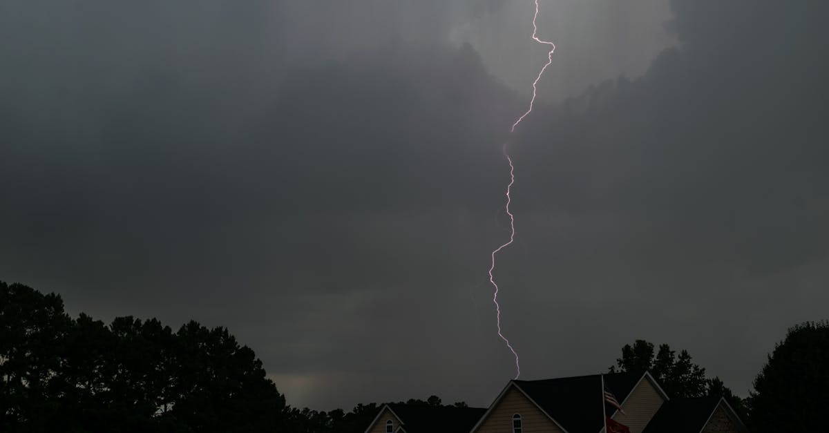
Tornadoes need that three-ingredient recipe, and certain times and places deliver it better than others.
Seasonally: In the Northern Hemisphere, tornado season peaks from April through June, when cold air from the north can still clash with warm, moist air surging up from the Gulf of Mexico. There’s a smaller secondary peak in September and October.
Time of day: Most tornadoes strike between 2 PM and 8 PM local time, when afternoon heating maximizes atmospheric instability. But tornadoes can occur at any hour—nighttime tornadoes are particularly dangerous because people can’t see them coming.
Geography: The U.S. Great Plains experience more tornadoes than anywhere else on Earth, thanks to ideal geography: the Rocky Mountains provide a source of cold, dry air; the Gulf of Mexico provides warm, moist air; and the jet stream overhead provides wind shear. But tornadoes occur worldwide—in Australia, South Africa, parts of Europe, and anywhere the atmospheric ingredients align.
What it means for staying safe
Understanding how tornadoes form clarifies why forecasting them is both possible and uncertain.
Meteorologists can identify conditions favorable for tornadoes hours or even days in advance—instability, wind shear, and lifting mechanisms show up clearly in weather models. That’s why the Storm Prediction Center issues outlooks highlighting areas at risk.
But predicting exactly where and when a tornado will touch down remains difficult. Not every supercell produces a tornado, and the difference between a rotating storm that stays aloft and one that spawns an EF4 wedge tornado isn’t always clear until it happens. That’s why tornado warnings are issued when rotation is detected on radar or spotted visually, typically giving 15–30 minutes of lead time.
Most tornadoes last 10–20 minutes and travel 5–10 miles, but the ranges are huge. The longest-lived tornado on record—the 1925 Tri-State Tornado that tore through Missouri, Illinois, and Indiana—lasted approximately 3.5 hours and traveled 219 miles.
FAQ
What causes tornadoes?
Tornadoes are caused by the combination of atmospheric instability (warm air below, cold air above), wind shear (changing wind speed or direction with height), and a lifting mechanism like a cold front. These ingredients create supercell thunderstorms where rotation can develop and tighten into a tornado.
What weather conditions cause tornadoes?
Tornado-producing conditions include strong instability (measured as CAPE above 1,000 J/kg), significant wind shear creating rotating air, warm and moist surface air (often from a nearby body of water like the Gulf of Mexico), and a trigger such as a frontal boundary or dry line to initiate the storm.
Why do tornadoes spin?
Tornadoes spin because wind shear creates a horizontal tube of rotating air, which a powerful updraft tilts into a vertical orientation. As the rotating column stretches vertically, it spins faster due to conservation of angular momentum—the same physics that makes ice skaters spin faster when they pull their arms in.
Can you see a tornado forming?
Sometimes. You might see a rotating wall cloud (a lowering of the cloud base), a funnel cloud descending, or a debris cloud at ground level even before the funnel is fully visible. A greenish sky, large hail, and a sudden calm after strong winds can signal tornado development. But some tornadoes form rapidly with little visual warning, especially at night or when wrapped in rain.
How long do tornadoes last?
Most tornadoes last between 10 and 20 minutes, though stronger tornadoes (EF2 and above) can persist for 30 minutes or longer. The longest-lived tornado on record, the 1925 Tri-State Tornado, lasted approximately 3.5 hours.
What is the difference between a tornado and a funnel cloud?
A funnel cloud is a rotating column of air that extends from a cloud base but doesn’t reach the ground. A tornado is that same rotating column once it makes contact with the surface. The distinction matters for warnings and classifications—a funnel cloud is a warning sign, but it’s not a tornado until it touches down.
Wind shear, instability, and a trigger. That’s the physics behind the spin. The Great Plains will see its share again this spring—and now you know what’s happening in the atmosphere when those ominous clouds start to rotate.
Written for general interest and accuracy-checked, but not a substitute for specialist sources. For official tornado safety guidance, consult the National Weather Service.